
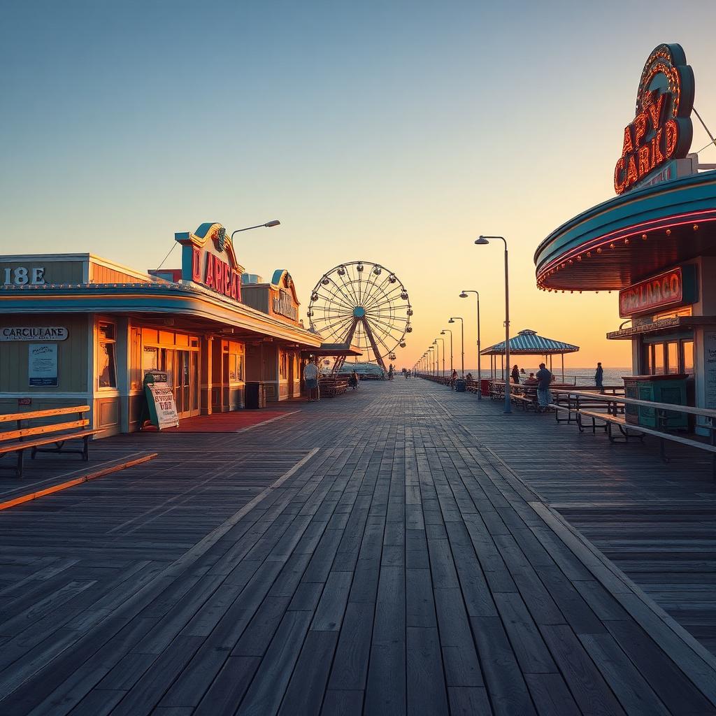
Pleasure Island: From Peninsula to Island Paradise
Learn how the construction of Snow's Cut during World War II transformed Carolina Beach and its neighboring communities into the beloved Pleasure Island.
By Shelly Winner, Editor
Before the 1940s, what we now affectionately call Pleasure Island was actually a long, narrow peninsula, connected to the mainland at its southern end. The Cape Fear River flowed on one side, and the Atlantic Ocean on the other, but there was no direct waterway separating it from the rest of New Hanover County.
The strategic importance of Wilmington's port and the burgeoning naval activities during World War II brought about a significant change. To create a more direct and safer route for maritime traffic between the Cape Fear River and the Intracoastal Waterway, the decision was made to excavate a canal. This new waterway, known as Snow's Cut, would effectively sever the peninsula, turning it into a true island.
Construction of Snow's Cut began in 1940 and was completed in 1941, forever altering the geography of the area. Suddenly, Carolina Beach, Kure Beach, and Fort Fisher were all situated on an island. The opening of Snow's Cut necessitated the construction of a bridge, which became a vital link for residents and military personnel.
It was around this time, with the creation of the island, that the charming moniker "Pleasure Island" began to take hold. The name captured the spirit of a destination set apart, offering recreation and respite by the sea, a reputation that continues to this day.
Today, the Snow's Cut bridge continues to serve as the main gateway to Pleasure Island, connecting it to the mainland. Driving over this bridge, one can still appreciate the engineering feat that transformed the landscape and gave our beloved island its distinctive identity and name, a legacy from a time of global conflict that shaped our local paradise.