
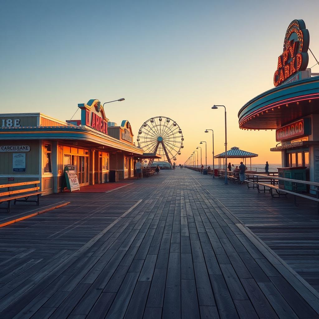
Pleasure Island: From Peninsula to Island Paradise
Learn how a significant engineering feat during World War II transformed the Carolina Beach area into the beloved Pleasure Island we know today.
By Shelly Winner, Editor
For many years, the land south of Wilmington, encompassing what is now Carolina Beach and Kure Beach, was a peninsula, connected to the mainland. This changed dramatically with a vital engineering project during World War II, a time when coastal defenses and strategic access were paramount concerns. The construction of Snow's Cut became a defining moment for the region.
Completed in 1940, the Snow's Cut waterway was an ambitious undertaking. This man-made canal connected the Cape Fear River to the Atlantic Intracoastal Waterway, significantly improving navigation for both military and commercial vessels. But beyond its practical purpose for shipping, Snow's Cut had another, perhaps less immediately obvious, consequence for the local geography: it severed the land connection, effectively making Carolina Beach and Kure Beach a true island.
With the completion of Snow's Cut, the once-peninsula was fully separated from the mainland. This new island identity, combined with the area's natural beauty and recreational appeal, quickly led to a fitting nickname: Pleasure Island. The name perfectly captured the spirit of a place increasingly known for its beaches, fishing, and leisure activities, distinguishing it as a distinct and desirable destination.
While the original Snow's Cut bridge allowed passage, it was replaced over the years with more modern structures. Today, as you cross the Snow's Cut Bridge, whether heading into Carolina Beach or leaving Kure Beach, you are traveling over the very waterway that gave this area its unique island status and its enduring, beloved name.