
Pleasure Island: How a Cut Made an Island
Before 1929, what we know as Pleasure Island was part of a peninsula. The construction of Snow's Cut transformed the landscape, carving out a true island and paving the way for a new identity.
By Shelly Winner, Editor
In 1929, a significant engineering project forever changed the geography of our area: the ambitious cutting of Snow’s Cut. This waterway, now a familiar sight to locals and visitors alike, was initially envisioned to provide a more direct and protected route for maritime traffic between the Cape Fear River and the Atlantic Ocean, avoiding the often treacherous Frying Pan Shoals.
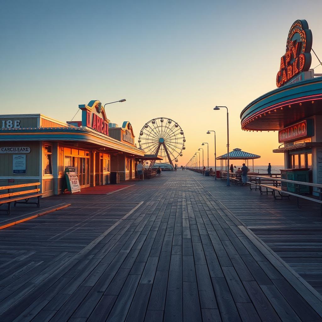
The completion of Snow’s Cut effectively separated the southern part of the Carolina Beach peninsula from the mainland, creating a true island. This newly formed landmass, encompassing Carolina Beach, Kure Beach, and Fort Fisher, soon earned the moniker "Pleasure Island," a name that has stuck ever since, reflecting the area's growing reputation as a leisure destination.
During World War II, the strategic importance of this new island and its coastal access became even more apparent. The United States military established defensive positions and training facilities along the coast, particularly around Fort Fisher, and Snow's Cut afforded naval vessels greater maneuverability and protection.
Today, Snow's Cut is a bustling waterway, popular with recreational boaters, kayakers, and fishermen. The drawbridge that spans the cut remains a crucial link, connecting Carolina Beach to the mainland, and offering a tangible connection to the early 20th-century industriousness that literally shaped our island home.