
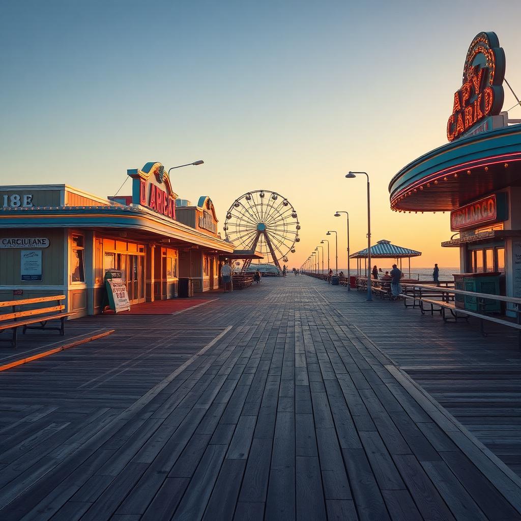
Pleasure Island: The Bridge That Made Us an Island
The construction of the Snow's Cut bridge dramatically changed the geography of Carolina Beach, cementing its identity as an island and giving rise to the beloved "Pleasure Island" moniker.
By Shelly Winner, Editor
Before 1927, Carolina Beach was connected to the mainland, albeit by a sometimes-challenging route. Travelers would follow the coast south from Wilmington, navigating sandy roads and ferries to reach the fledgling resort town. This connection meant that technically, the area wasn't a true island, but rather a peninsula.
The vision for better access and increased tourism began to take shape, leading to a significant undertaking: the creation of Snow's Cut. This man-made canal was excavated through the marshland, effectively separating the southern end of the peninsula from the mainland and creating a new waterway between the Cape Fear River and the Atlantic Intracoastal Waterway.
Following the completion of Snow's Cut in 1927, a bridge was constructed, finally connecting what was now a bona fide island to the rest of New Hanover County. This engineering feat not only improved transportation significantly, allowing for easier travel for residents and visitors alike, but also solidified the area's geographical identity.
It was during World War II, when the area saw an influx of military personnel and their families, that the nickname "Pleasure Island" truly took hold. With the new road and bridge providing easy access to the beaches and attractions, the area became a popular recreational spot, offering a welcome respite from wartime stresses.
Today, you can still drive over the Snow's Cut Bridge, the very structure that helped define Pleasure Island. As you cross it, consider the profound impact it had, transforming a coastal peninsula into the distinct and beloved island community we know today.