
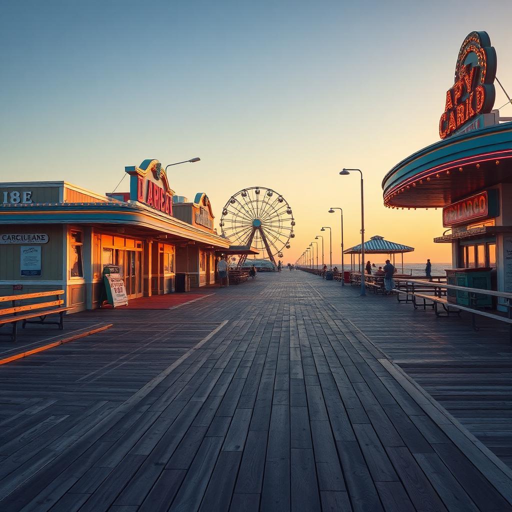
Shoreline History Carved This Famous Boardwalk Curve
The wooden planks of the Carolina Beach Boardwalk do not follow a straight line because the Atlantic Ocean once forced the town to redraw its maps entirely. While the gentle bend in the walkway feels …
By Shelly Winner, Editor
The wooden planks of the Carolina Beach Boardwalk do not follow a straight line because the Atlantic Ocean once forced the town to redraw its maps entirely. While the gentle bend in the walkway feels like a design choice for strollers today, the footprint was actually dictated by the high-water marks and receding tides of the early 20th century.
Old town plats reveal a coastline that looked significantly different before the mid-1900s. The current path of the boardwalk area serves as a physical record of where the land once met the surf, long before modern infrastructure stabilized the dunes. Every turn in the wood represents a historical negotiation between local builders and the shifting sands of Pleasure Island.
🏖 Resilience Built Into the Wood
The specific curve most residents walk today is a testament to the town's recovery efforts following the major storms of the 1940s and 50s. These environmental shifts were so significant that they altered the available building space along the oceanfront, forcing the boardwalk to adapt its shape to the new reality of the shoreline. By our read, the walkway is less of a planned park and more of a survivor’s map.
For residents, this means that a casual evening walk is actually a trip across a historical boundary. The layout highlights how the community chose to rebuild rather than retreat. Instead of fighting for a perfectly linear path, the town followed the natural contour left behind by the weather, creating the distinct local layout we recognize today.
🌊 Why the Tide Lines Matter
Looking at early twentieth-century records shows that the boardwalk’s footprint changed as the environment dictated. What to watch for now is how this legacy of resilience continues to define the boardwalk area. The bend in the path isn't just a quirk of the island; it is the town’s way of acknowledging that the ocean always gets the final vote on where the sidewalk ends.
The specific path you are walking was dictated by the tide lines of the early 20th century.
Worth noting is how this history connects the modern leisure experience to the town's past. When you feel the boards shift under your feet or notice the way the walkway hugs the dunes, you are experiencing the same environmental constraints that faced islanders nearly a century ago. It is a rare piece of functional history that is still in heavy use every single day.
🚢 A Legacy Under Your Feet
The bigger picture here is about more than just old maps. It is about the way Carolina Beach has always managed to find a path forward after the clouds clear. The boardwalk area remains the heart of the community precisely because it was built to fit the island, not the other way around.
Next time you find yourself at the curve near the center of the action, take a second to look at the angle of the shops and the way the wood meets the sand. You are standing on the exact spot where the town decided to start over. That’s Carolina Beach. Beautiful, chaotic, and somehow still worth it.